|
|
 |
 |
 |
 |
| Detroit CentralBusiness Gratiot Ave at Brush
- Tremonti Building.
. . . 30 x 50 Superwallspace
eastbound
Show on map
|
 |

|
|
|
|
|
|

|
| Detroit CentralBusiness Beaubien at Clinton
- Harbor House. . . . . . . . 20 x 100 Superwallspace southbound
Show on map
|
|

|
|
|
|
|
|
|
|
|
| Detroit CentralBusiness. Macomb in Greektown
- Tremonti Building . . . . 24 x 40 wallspace - Sponsored Art Mural
Show on map
|
|
.jpg)
|
|
|
|
|
|
|
|
| Detroit Central Business District looking north
-
|
|
.jpg)
|
|
|
|
|
|
|
|
|
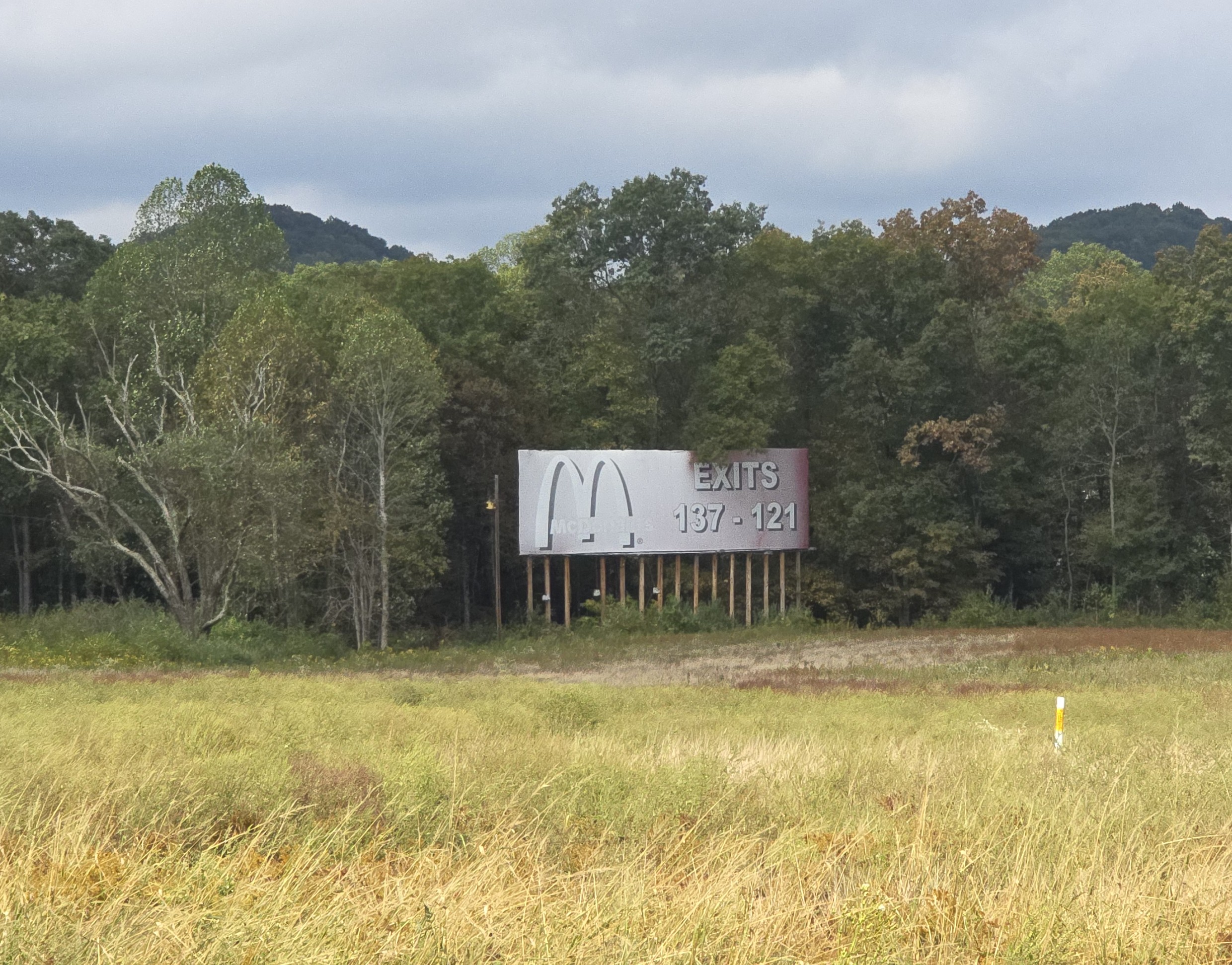
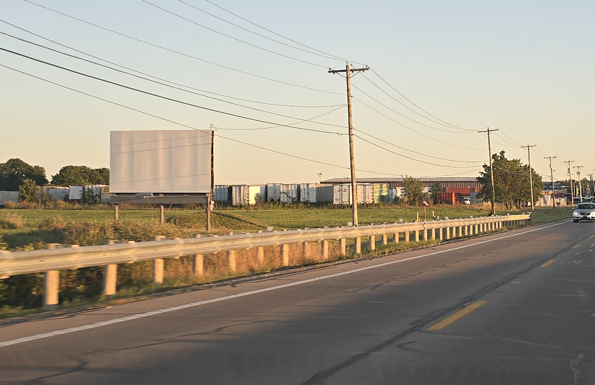
| Interstate I-75 MI
- .mile 17 - Monroe . . . . 16 x 48 southbound TCDS 35,989
Show on map
|
|

|
|
|
|
|
|
|
|
| Interstate I-75 MI
- .mile 17 - Monroe . . . . . 16 x 48 southbound TCDS 35,989
Show on map
|
|

|
|
|
|
|
|
|
|
|
| Interstate I-75 MI
- .mile 17 - Monroe . . . . 16 x 48 southbound TCDS 35,989
Show on map
|
|
.jpg)
|
|
|
|
|
|
|
|
| Interstate I-75 OH
- .mile 171 - Cygnet . . . . 20 x 60 southbound
Show on map
|
|

|
|
|
|
|
|
|
|
|
| Interstate I-75 OH
- mile 168 - N. Baltimore . 16 x 60 southbound TCDS 25,969
Show on map
|
|
.jpg)
|
|
|
|
|
|
|
|
| Interstate I-75 OH
- .mile 167 - N. Baltimore 20 x 60 southbound TCDS 25,969
Show on map
|
|

|
|
|
|
|
|
|
|
|
| Interstate I-75 OH
- .mile 164 - Van Buren . 20 x 60 southbound
Show on map
|
|
.jpg)
|
|
|
|
|
|
|
|
| Interstate I-75 OH
- .mile 164 - Findlay . . . 16 x 60 southbound
Show on map
|
|

|
|
|
|
|
|
|
|
|
| Interstate I-75 OH
- .mile 164 - Findlay . . . . 20 x 80 southbound TCDS 27,158
Show on map
|
|

|
|
|
|
|
|
|
|
| Interstate I-75 OH
- .mile 162 - Findlay . . . . 20 x 60 northbound
Show on map
|
|

|
|
|
|
|
|
|
|
|
| Interstate I-75 OH
- .mile 154 - Findlay . . . . 20 x 72 southbound
Show on map
|
|
.jpg)
|
|
|
|
|
|
|
|
| Interstate I-75 OH
- .mile 151 - Rawson . . . . 16 x 72 southbound
Show on map
|
|

|
|
|
|
|
|
|
|
|
| Interstate I-75 OH
- .mile 150 - Rawson . . . 16 x 60 northbound
Show on map
|
|

|
|
|
|
|
|
|
|
| Interstate I-75 OH
- .mile 149 - Rawson . . . . 16 x 72 southbound TCDS 24,028
Show on map
|
|

|
|
|
|
|
|
|
|
|
| Interstate I-75 OH
- .mile 148 - Rawson . . . . 20 x 60 northbound
Show on map
|
|

|
|
|
|
|
|
|
|
| Interstate I-75 OH
- .mile 146 - Mt.Cory . . . . 16 x 72 southbound
Show on map
|
|
.jpg)
|
|
|
|
|
|
|
|
|
| Interstate I-75 OH
- .mile 145 - Mt.Cory . . . . 20 x 72 southbound
Show on map
|
|
.jpg)
|
|
|
|
|
|
|
|
| Interstate I-75 OH
- .mile 144 - Bluffton . . . . 20 x 72 northbound
Show on map
|
|

|
|
|
|
|
|
|
|
|
| Interstate I-75 OH
- .mile 143 - Bluffton . . . . 20 x 72 northbound TCDS 27,158
Show on map
|
|

|
|
|
|
|
|
|
|
| Interstate I-75 OH
- .mile 136 - Beaverdam . . 20 x 72 northbound
Show on map
|
|

|
|
|
|
|
|
|
|
|
| Interstate I-75 OH
- mile 131 - Lima . . . . . . 20 x 72 northbound
Show on map
|
|

|
|
|
|
|
|
|
|
| Interstate I-75 OH
- .mile 116 - Wapakoneta . 16 x 60 southbound TCDS 19,094
Show on map
|
|

|
|
|
|
|
|
|
|
|
| Interstate I-75 OH
- .mile 109 - Wapakoneta . 20 x 60 Southbound TCDS 20,501
Show on map
|
|
.jpg)
|
|
|
|
|
|
|
|
| Interstate I-75 OH
- .mile 107 - Botkins . . . . 20 x 60 southbound TCDS 20,501
Show on map
|
|

|
|
|
|
|
|
|
|
|
| Interstate I-75 OH
- .mile 104 - Botkins . . . . 20 x 60 southbound
Show on map
|
|

|
|
|
|
|
|
|
|
| Interstate I-75 OH
- .mile 103 - Botkins . . . . 20 x 60 northbound
Show on map
|
|

|
|
|
|
|
|
|
|
|
| Interstate I-75 OH
- .mile 101 - Anna . . . . . . 20 x 60 southbound TCDS 20,362
Show on map
|
|

|
|
|
|
|
|
|
|
| Interstate I-75 OH
- .mile 100 - Anna . . . . . . . 20 x 60 southbound
Show on map
|
|

|
|
|
|
|
|
|
|
|
| Interstate I-75 OH
- .mile 99 - Anna . . . . . . 20 x 60 northbound . TCDS 20,505
Show on map
|
|

|
|
|
|
|
|
|
|
| Interstate I -75 OH
- .mile 98 - Anna . . . . . . 20 x 60 northbound . TCDS 20,410
Show on map
|
|

|
|
|
|
|
|
|
|
|
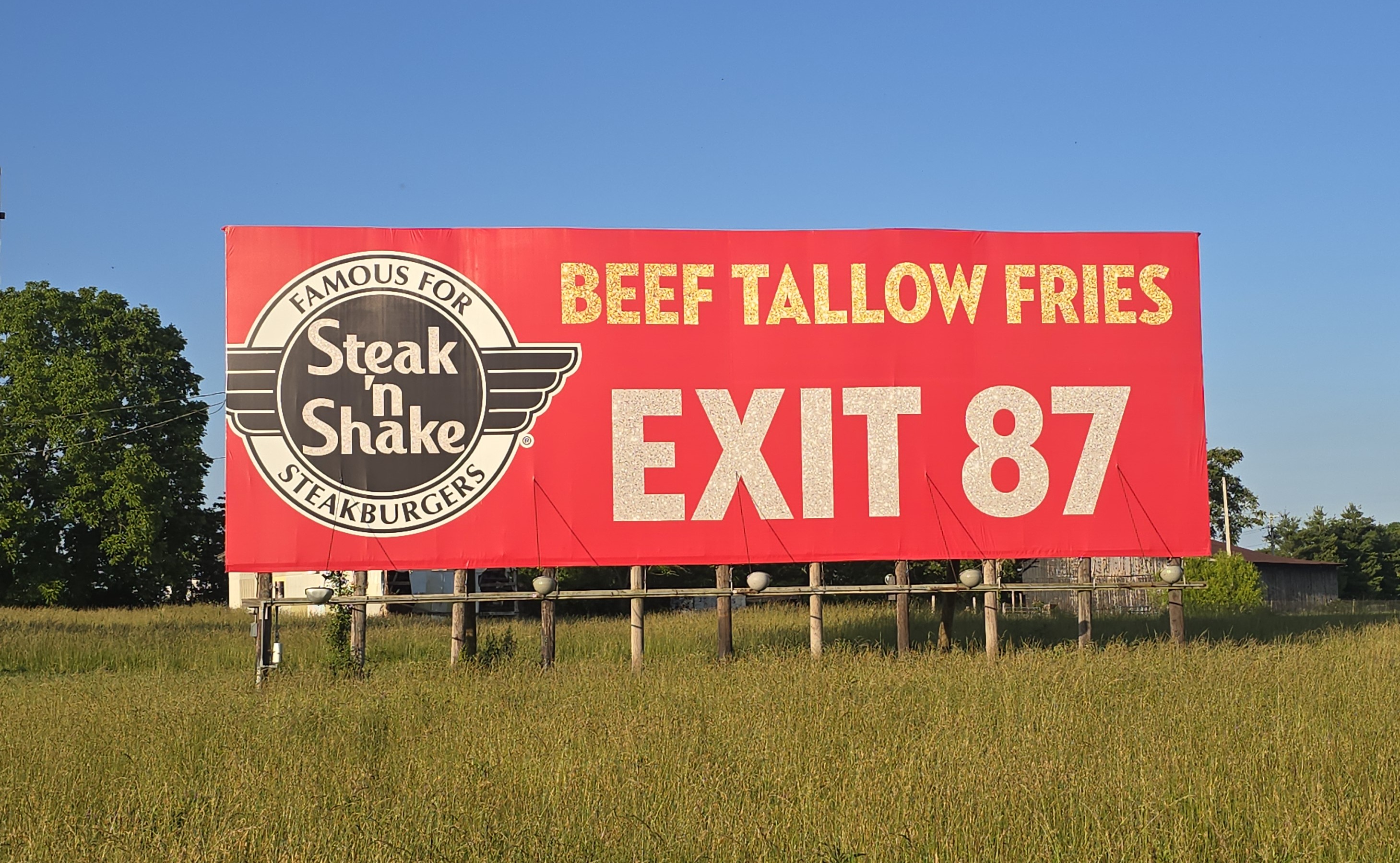
| Interstate I-75 OH
- .mile 87 - Sidney . . . . . 20 x 60 northbound TCDS 25,145
Show on map
|
|
.jpg)
|
|
|
|
|
|
|
|
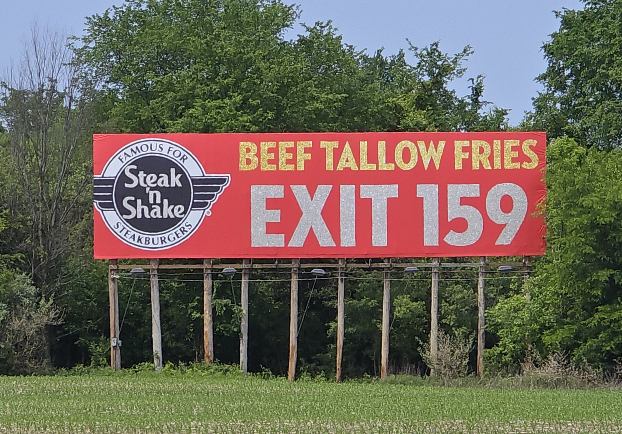
| Interstate I-75 OH
- .mile 86 - Piqua . . . . . . 24 x 64 southbound
Show on map
|
|

|
|
|
|
|
|
|
|
|
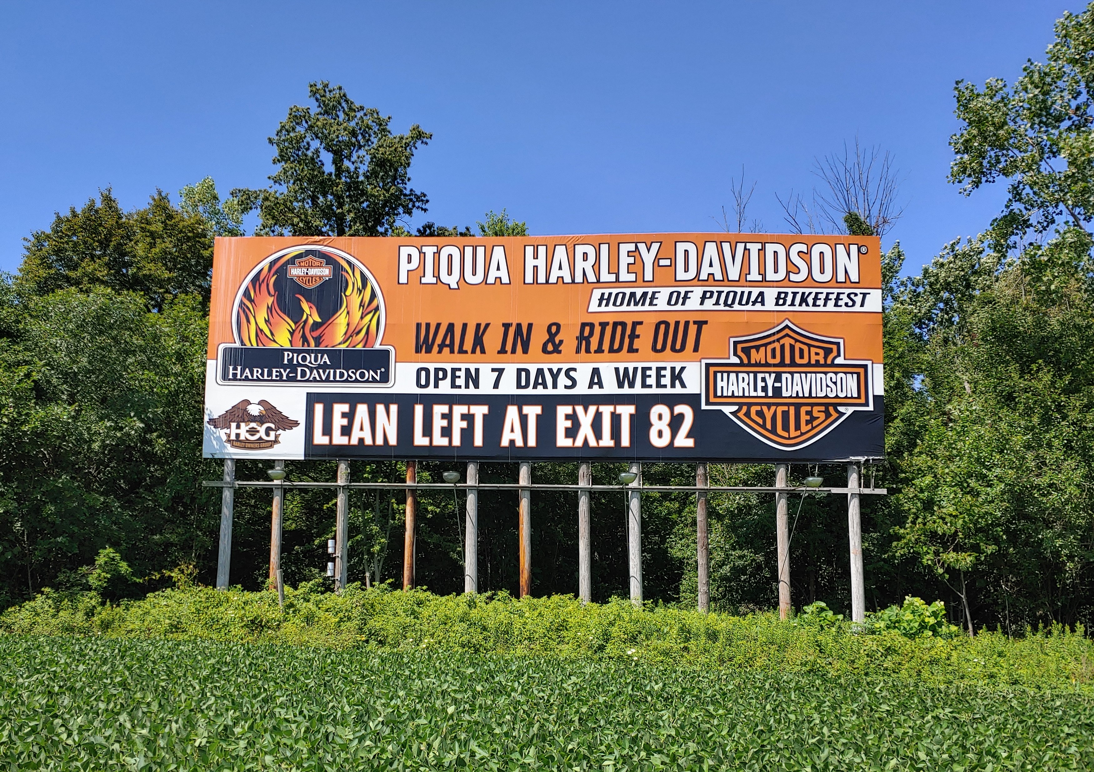
| Interstate I-75 OH
- .mile 79 - Piqua . . . . . . 24 x 48 northbound
Show on map
|
|
.jpg)
|
|
|
|
|
|
|
|
| Interstate I-75 KY
- .mile 78 - Berea . . . . . . 20 x 80 northbound
Show on map
|
|

|
|
|
|
|
|
|
|
|
| Interstate I-75 KY
- .mile 78 - Berea . . . . . . 20 x 80 northbound
Show on map
|
|

|
|
|
|
|
|
|
|
| Interstate I-75 KY
- .mile 78 - Berea . . . . . . 20 x 60 northbound TCDS 32,039
Show on map
|
|

|
|
|
|
|
|
|
|
|
| Interstate I-80/90 - OH TPK
- mile 65 Perrysburg 20 x 80 westbound
Show on map
|
|

|
|
|
|
|
|
|
|
| Interstate I-80/90 OH TPK
- mile 66 Perrysburg 22 x 80 westbound
Show on map
|
|
.jpg)
|
|
|
|
|
|
|
|
|
| Interstate I-80/90 OH TPK
- mile 66 Perrysburg 20 x 80 westbound
Show on map
|
|

|
|
|
|
|
|
|
|
| Interstate I-80/90 OH TPK
- mile 66 Perrysburg 20 x 80 westbound
Show on map
|
|
.jpg)
|
|
|
|
|
|
|
|
|
| Interstate I-80/90 OH TPK
- mile 66 Perrysburg 20 x 80 westbound . TCDS 23,189
Show on map
|
|

|
|
|
|
|
|
|
|
| Interstate I-71 OH
- .mile 71 - Jeffersonville . 20 x 60 southbound
Show on map
|
|

|
|
|
|
|
|
|
|
|
| Interstate I-71 OH
- .mile 58 - Jamestown . . 20 x 60 northbound TCDS 21,113
Show on map
|
|

|
|
|
|
|
|
|
|
| Interstate I-71 OH
- .mile 41 - Wilmington . . 20 x 72 northbound TCDS 17,943
Show on map
|
|
.jpg)
|
|
|
|
|
|
|
|
|
| Interstate I-90 OH
- .mile 219 - Austinburg . 20 x 72 eastbound
Show on map
|
|
.jpg)
|
|
|
|
|
|
|
|
| Interstate I-90 OH
- .mile 221 - Austinburg . . 20 x 60 eastbound
Show on map
|
|

|
|
|
|
|
|
|
|
|
| Interstate I-90 OH
- .mile 222 - Austinburg . . 20 x 72 eastbound
Show on map
|
|

|
|
|
|
|
|
|
|
| Interstate I-90 OH
- .mile 225 - Austinburg . . 20 x 60 westbound . TCDS 17,319
Show on map
|
|
.jpg)
|
|
|
|
|
|
|
|
|
| Interstate I-70 OH
- mile 12 - Lewisburg 20 x 60 westbound
Show on map
|
|
.jpg)
|
|
|
|
|
|
|
|
| Interstate I-70 OH
- .mile 156 - Zanesville . . 12 x 40 eastbound . TCDS 25,432
Show on map
|
|
 (Medium.jpg)
|
|
|
|
|
|
|
|
|
| Interstate I-70 OH
- .mile 171 - New Concord 20 x 80 westbound . TCDS 18,370
Show on map
|
|

|
|
|
|
|
|
|
|
| Interstate I-70 OH
- .mile 171 - New Concord 20 x 60 westbound. TCDS 17,134
Show on map
|
|

|
|
|
|
|
|
|
|
|
| Interstate I-70 OH
- .mile 171 - New Concord 20 x 60 eastbound . TCDS 17,134
Show on map
|
|

|
|
|
|
|
|
|
|
| Interstate I-70 OH
- .mile 176 - Cambridge . . 20 x 48 eastbound. TCDS 17,134
Show on map
|
|
.jpg)
|
|
|
|
|
|
|
|
|
| Interstate I-77 OH
- .mile 1 - Marietta . . . . 16 x 80 southbound TCDS 7,719
Show on map
|
|

|
|
|
|
|
|
|
|
| Interstate I-77 OH
- .mile 1 - Marietta . . . . 16 x 60 southbound
Show on map
|
|

|
|
|
|
|
|
|
|
|
| Interstate I-77 OH
- .mile 1 - Marietta . . . . 16 x 60 northbound TCDS 8,403
Show on map
|
|

|
|
|
|
|
|
|
|
| Interstate I- 77 OH
- .mile 1 - Marietta . . . . 20 x 80 southbound
Show on map
|
|
.jpg)
|
|
|
|
|
|
|
|
|
| Interstate I-64 KY
- .mile 50 - Frankfort . . . . 20 x 80 eastbound
Show on map
|
|

|
|
|
|
|
|
|
|
| Interstate I-64 KY
- .mile 50 - Frankfort . . . . 20 x 80 eastbound. TCDS 21,545
Show on map
|
|

|
|
|
|
|
|
|
|
|
| Interstate I-64 KY
- .mile 107 - Mt Sterling . . 20 x 60 eastbound
Show on map
|
|

|
|
|
|
|
|
|
|
| Interstate I-64 KY
- .mile 108 - Mt Sterling . . 16 x 80 eastbound
Show on map
|
|
.jpg)
|
|
|
|
|
|
|
|
|
| Interstate I-64 KY
- .mile 117 - Owingsville . 20 x 80 westbound . TCDS 11,437
Show on map
|
|
 (Medium).jpg)
|
|
|
|
|
|
|
|
| Interstate I-64 KY
- .mile 118 - Owingsville . 20 x 60 westbound. TCDS 11,437
Show on map
|
|
.jpg)
|
|
|
|
|
|
|
|
|
| Interstate I-64 KY
- .mile 139 - Moorehead - 20 x 80 westbound
Show on map
|
|

|
|
|
|
|
|
|
|
| Interstate I- 65 KY
- .mile 121 - Brooks . . . . 20 x 60 northbound
Show on map
|
|

|
|
|
|
|
|
|
|
|
| Interstate I-65 KY
- .mile 62 - Horse Cave . . 16 x 60 southbound
Show on map
|
|
.jpg)
|
|
|
|
|
|
|
|
| OH State Route 20
- Perrysburg-Lime City Rd 10 x 24 eastbound
Show on map
|
|

|
|
|
|
|
|
|
|
|
| OH State Route 20
- Perrysburg - Ault Rd . . 12 x 32 westbound
Show on map
|
|

|
|
|
|
|
|
|
|
| OH State Route 20
- Perrysburg - Ault Rd . . 12 x 32 eastbound
Show on map
|
|

|
|
|
|
|
|
|
|
|
| OH State Route 20
- Woodville - St Rte 23 . . 8 x 20 eastbound
Show on map
|
|

|
|
|
|
|
|
|
|
| OH State Route 20
- Hessville - CR 74 . .
. . . 10 8 x 22 10 westbound
Show on map
|
|

|
|
|
|
|
|
|
|
|
| OH State Route 20
- Hessville - CR 74 . .
. . 10 8 x 22 10 eastbound .
5,632
Show on map
|
|

|
|
|
|
|
|
|
|
| OH State Route 20
- Hessville - CR 78 . . . . . 12 x 32 westbound . TCDS 5,654
Show on map
|
|

|
|
|
|
|
|
|
|
|
| OH State Route 20
- Hessville - CR 78 . . . . . 12 x 32 eastbound
Show on map
|
|

|
|
|
|
|
|
|
|
| OH State Route 20
- Lindsey - CR 580 . . . . . . 8 x 20 westbound
Show on map
|
|

|
|
|
|
|
|
|
|
|
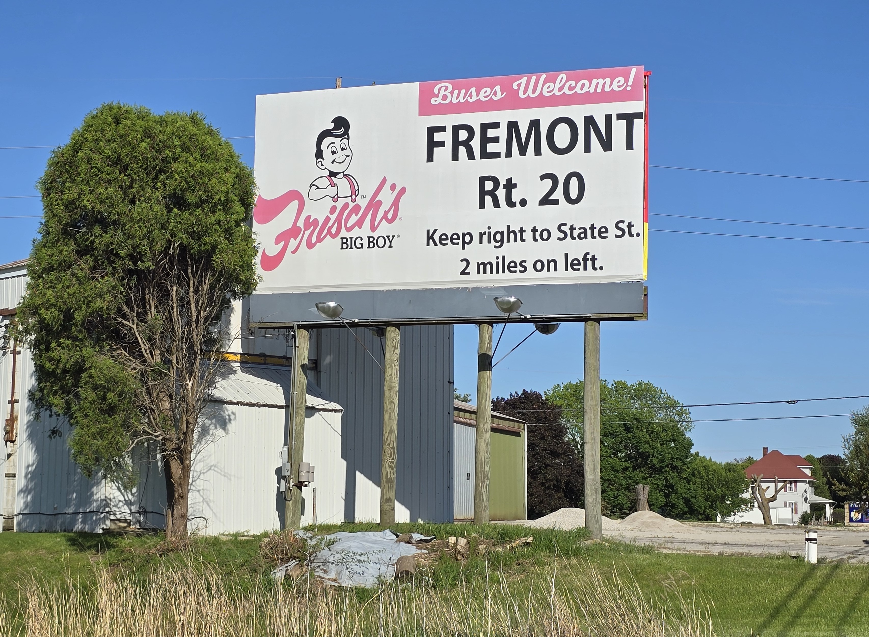
| OH State Route 20
- Fremont - 4 mi House Rd 12 x 24 eastbound
Show on map
|
|

|
|
|
|
|
|
|
|
| OH State Route 20
- Fremont - 4 mi House Rd 12 x 24 westbound
Show on map
|
|

|
|
|
|
|
|
|
|
|
| OH State Route 53
- Fremont - Weickert Rd . . 8 x 8 northbound
Show on map
|
|

|
|
|
|
|
|
|
|
| OH State Route 53
- Fremont - Weickert Rd. . 8 x 8 southbound
Show on map
|
|

|
|
|
|
|
|
|
|
|
| OH State Route 53
- Fremont - Weickert Rd . . 8 x 8 northbound
Show on map
|
|

|
|
|
|
|
|
|
|
| OH State Route 53
- Fremont - Wieckert Rd . . . 8 x 8 southbound
Show on map
|
|

|
|
|
|
|
|
|
|
|
| OH State Route 6
- Fremont - SR 590 . .
. . 10 8 x 22 10
westbound
Show on map
|
|
.jpg)
|
|
|
|
|
|
|
|
| OH State Route 6
- Fremont - SR 590 . .
. . 10 8 x 22 10
eastbound
Show on map
|
|

|
|
|
|
|
|
|
|
|
| OH State Route 6
- Bradner - Pemberville Rd 12 x 24 westbound
Show on map
|
|

|
|
|
|
|
|
|
|
| OH State Route 6
- Bradner - Pemberville Rd 12 x 24 eastbound
Show on map
|
|

|
|
|
|
|
|
|
|
|
| OH State Route 6
- Bradner - Rte 199 . . . . 12 x 24 westbound
Show on map
|
|

|
|
|
|
|
|
|
|
| OH State Route 6
- Bradner - Rte 199 . . . . 12 x 24 eastbound
Show on map
|
|

|
|
|
|
|
|
|
|
|
| OH State Route 6
- Weston - Potter Rd . . . . 10 x 24 eastbound. TCDS 2,823
Show on map
|
|

|
|
|
|
|
|
|
|
| OH Route 199
- Fostoria - McCutchenville Rd . . . 10 x 24 southbound
Show on map
|
|

|
|
|
|
|
|
|
|
|
| OH Route 199
- Fostoria - McCutchenville Rd . . . 12 x 24 southbound
Show on map
|
|
.jpg)
|
|
|
|
|
|
|
|
| OH State Route 23
- Fostoria - CR 18 . . . . . 10 x 24 northbound
Show on map
|
|

|
|
|
|
|
|
|
|
|
| OH State Route 568
- Carey - CR 89A . . . . . . 12 x 24 eastbound
Show on map
|
|
.jpg)
|
|
|
|
|
|
|
|
| OH State Route 568
- Carey - CR 89A . . . . . . 12 x 24 westbound
Show on map
|
|
.jpg)
|
|
|
|
|
|
|
|
|
| OH State Route 224
- Tiffin - CR 100 . . . . . . . 10 x 16 westbound
Show on map
|
|

|
|
|
|
|
|
|
|
| OH State Route 53
- McCutchenville - CR 6 . . 10 x 10 northbound
Show on map
|
|

|
|
|
|
|
|
|
|
|
| OH State Route 15
- Vanlue - CR 193 . . . . . 10 x 16 eastbound
Show on map
|
|

|
|
|
|
|
|
|
|
| OH State Route 15
- Vanlue - CR 193 . . . . . . 10 x 24 eastbound
Show on map
|
|

|
|
|
|
|
|
|
|
|
| OH State Route 23
- Crawford - CR 4 . . . . . . 12 x 24 southbound . TCDS 8,348
Show on map
|
|

|
|
|
|
|
|
|
|
| OH State Route 23
- Crawford - CR 4 . . . . . . 12 x 24 northbound . TCDS 7,986
Show on map
|
|

|
|
|
|
|
|
|
|
|
| OH State Route 23
- Crawford - CR 4 . . . .
. . 12 x 48 6
southbound
Show on map
|
|

|
|
|
|
|
|
|
|
| OH State Route 23
- Crawford - CR 4 . . . . .
. 12 x 48 6 northbound
Show on map
|
|

|
|
|
|
|
|
|
|
|
| OH State Route 23
- Crawford - T-42 . . . . . . 16 x 24 southbound
Show on map
|
|

|
|
|
|
|
|
|
|
| OH State Route 23
- Harpster - CR 113 . . . . . 12 x 32 southbound
Show on map
|
|

|
|
|
|
|
|
|
|
|
| OH State Route 23
- Harpster - CR 113 . . . . 12 x 32 northbound
Show on map
|
|

|
|
|
|
|
|
|
|
| OH State Route 33
- Wapakoneta - Wapak-Fisher Rd . . . . . . . . . . . . 4 x 10 east/westbound . TCDS 2,883
Show on map
|
|
|
|

|
|
|
|
|
|
|
| OH State Route 33
- Wapakoneta - Brown Rd 12 x 16 westbound
Show on map
|
|

|
|
|
|
|
|
|
|
| OH State Route 24
- mile 47 - Liberty Center 12 x 32 westbound
Show on map
|
|

|
|
|
|
|
|
|
|
|
| OH State Route 24
- mile 47 - Liberty Center 12 x 32 eastbound
Show on map
|
|

|
|
|
|
|
|
|
|
| OH State Route 24
- mile 47 - Liberty Center 12 x 32 westbound
Show on map
|
|

|
|
|
|
|
|
|
|
|
| OH State Route 24
- mile 47 - Liberty Center 12 x 32 eastbound
Show on map
|
|

|
|
|
|
|
|
|
|
| OH State Route 24
- mile 47 - Liberty Center 12 x 32 westbound
Show on map
|
|

|
|
|
|
|
|
|
|
|
| OH State Route 24
- mile 47 - Liberty Center 12 x 32 eastbound
Show on map
|
|

|
|
|
|
|
|
|
|
| OH State Route 24
- mile 47 - Liberty Center 12 x 32 westbound
Show on map
|
|

|
|
|
|
|
|
|
|
|
| OH State Route 24
- mile 47 - Liberty Center 12 x 32 eastbound . TCDS 10,403
Show on map
|
|

|
|
|
|
|
|
|
|
| OH State Route 24
- Napoleon - CR 13A . . . 12 x 24 westbound
Show on map
|
|

|
|
|
|
|
|
|
|
|
| OH State Route 24
- Napoleon - CR 13A . . . 12 x 24 eastbound
Show on map
|
|

|
|
|
|
|
|
|
|
| OH State Route 24
- Defiance - mile 30. .Jewel Rd . . . . . . . . . . . . 8 x 20 eastbound
Show on map
|
|

|
|
|
|
|
|
|
|
|
| OH State Route 24
- Defiance - mile 23 . . . . . 8 x 20 westbound
Show on map
|
|

|
|
|
|
|
|
|
|
| OH State Route 24
- Defiance - mile 23 . . . . . 8 x 20 eastbound
Show on map
|
|
.jpg)
|
|
|
|
|
|
|
|
|
| OH State Route 15/18
- Defiance - SR 15/18 . .
. 10 8 x 22 10 eastbound
Show on map
|
|
.jpg)
|
|
|
|
|
|
|
|
| OH State Route 15/18
- Defiance - SR 15/18 . .
. 10 8 x 22 10 westbound
Show on map
|
|

|
|
|
|
|
|
|
|
|
| OH State Rte 127/424
- Cecil - . . . . . . . . . . . . . 10 x 24 westbound
Show on map
|
|

|
|
|
|
|
|
|
|
| OH State Rte 127/424
- Cecil - . . . . . . . . . . . . . 10 x 24 eastbound
Show on map
|
|

|
|
|
|
|
|
|
|
|
| OH State Route 15
- Bryan Rte 127 . . . . .
. . 10 8 x 22 10
southbound
Show on map
|
|

|
|
|
|
|
|
|
|
| OH State Rte 15
- Bryan . . . . . . . 10 8 x 22 10 southbound
Show on map
|
|

|
|
|
|
|
|
|
|
|
| OH State Route 2
- Pettisville - CR 18 . . . . . 4 x 8 eastbound
Show on map
|
|

|
|
|
|
|
|
|
|
| OH State Route 2
- Pettisville - CR 18 . . . . . 4 x 8 westbound
Show on map
|
|

|
|
|
|
|
|
|
|
|
| OH State Route ALT 20
- Wauseon - CR 18 . . . . 10 x 16 eastbound
Show on map
|
|

|
|
|
|
|
|
|
|
| OH County Road F
- Wauseon . . . . . . . . . . . . 4 x 8 westbound. . . . TCDS 1,099
Show on map
|
|

|
|
|
|
|
|
|
|
|
| OH County Road F
- Wauseon . . . . . . . . . . . . 4 x 8 eastbound
Show on map
|
|
.jpg)
|
|
|
|
|
|
|
|
| OH State Route 108
- Wauseon . . . . . . . . . . . . 8 x 12 northbound
Show on map
|
|

|
|
|
|
|
|
|
|
|
| OH State Route 108
- Wauseon . . . . . . . . . . . . 8 x 12 southbound
Show on map
|
|

|
|
|
|
|
|
|
|
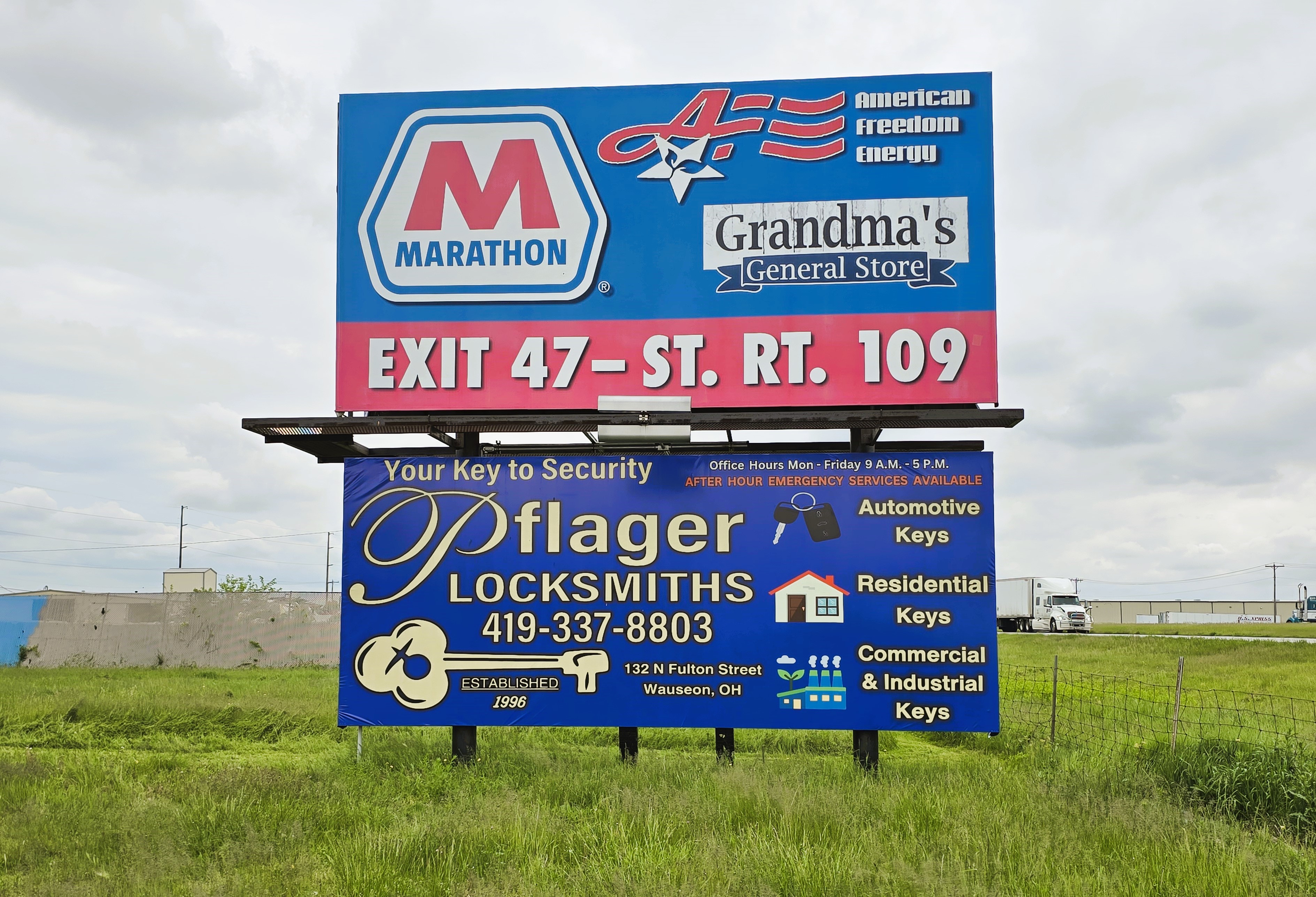
| OH State Route 108
- Wauseon - 20A . . . . .
. 11 x 19 2 northbound
Show on map
|
|

|
|
|
|
|
|
|
|
|
| Oh State Route 108
- Wauseon - 20A . . . . .
. 11 x 19 2 southbound
Show on map
|
|

|
|
|
|
|
|
|
|
| OH State Route 2
- Wauseon . . . . . . . . . . . . 4 x 8 eastbound
Show on map
|
|
.jpg)
|
|
|
|
|
|
|
|
|
| OH State Route 2
- Wauseon . . . . . . . . . . . . 4 x 8 westbound
Show on map
|
|

|
|
|
|
|
|
|
|
| OH State Route 2
- Wauseon - CR 11/12 Rd . 10 x 16 westbound
Show on map
|
|

|
|
|
|
|
|
|
|
|
| OH State Route 2
- . . . Delta - CR 6 . . . .
. . . . . 12 x 24 6 westbound
Show on map
|
|

|
|
|
|
|
|
|
|
| OH State Route 2
- . Delta - CR 6 . . .
. . . . . . .
12 x 24 6 eastbound
Show on map
|
|
.jpg)
|
|
|
|
|
|
|
|
|
| MI State Route 223
- Blissfield - Riga Hwy . . . 8 x 20 eastbound
Show on map
|
|

|
|
|
|
|
|
|
|
| MI State Route 223
- Blissfield - Riga Hwy . . . 8 x 20 westbound
Show on map
|
|

|
|
|
|
|
|
|
|
|
| MI State Route 223
- Blissfield - Crockett Hwy 12 x 24 eastbound
Show on map
|
|

|
|
|
|
|
|
|
|
|
|
|
©2026 BROOKS BILLBOARD. ALL RIGHTS RESERVED. |
|
|
|


.jpg)
.jpg)


.jpg)

.jpg)
.jpg)


.jpg)


.jpg)
.jpg)


.jpg)


.jpg)

.jpg)


.jpg)
.jpg)


.jpg)
.jpg)


.jpg)
.jpg)
 (Medium.jpg)


.jpg)


.jpg)

.jpg)
 (Medium).jpg)
.jpg)

.jpg)


.jpg)


.jpg)

.jpg)
.jpg)


.jpg)
.jpg)


.jpg)


.jpg)


.jpg)


